ACA Pacific Coast Section 5 Maps 56-59

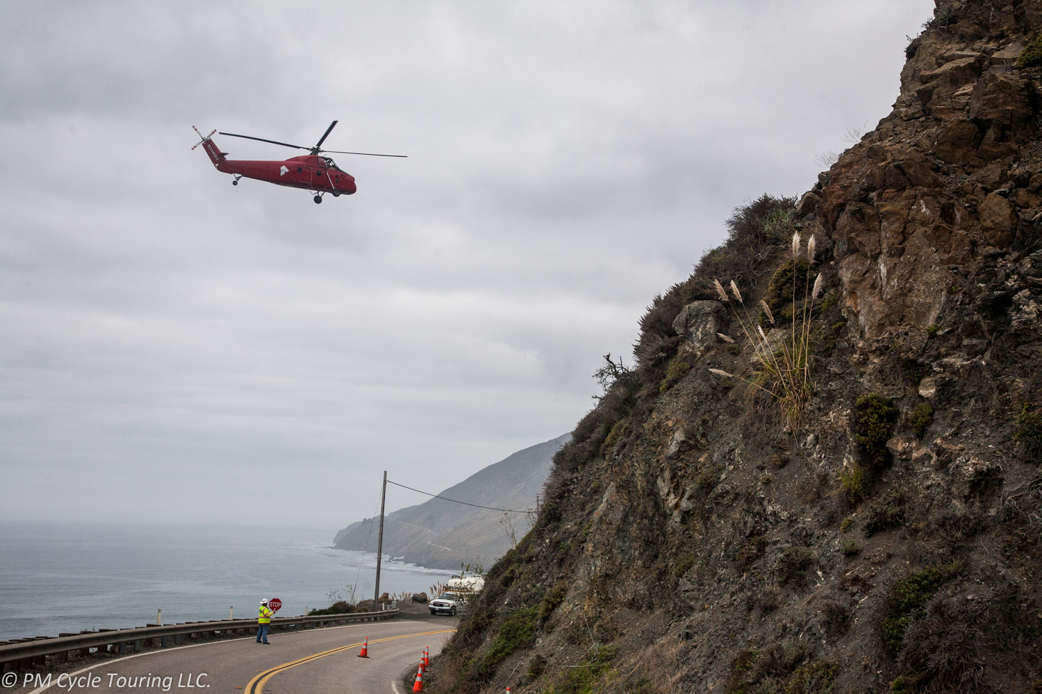
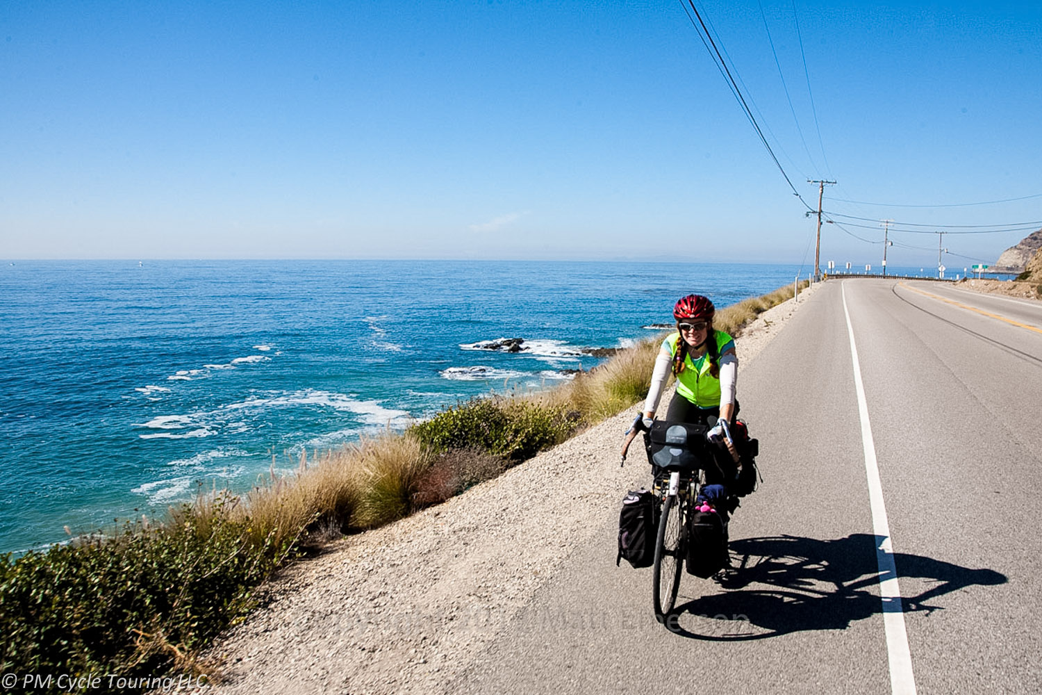
If you live in Southern California, or you have family in the area, and are looking for a great 4 day practice ride, I might suggest Goleta to Los Angeles. There are a few advantages to this ride: ease of transport to the start line, beautiful ocean riding, and access to convenient state campgrounds.

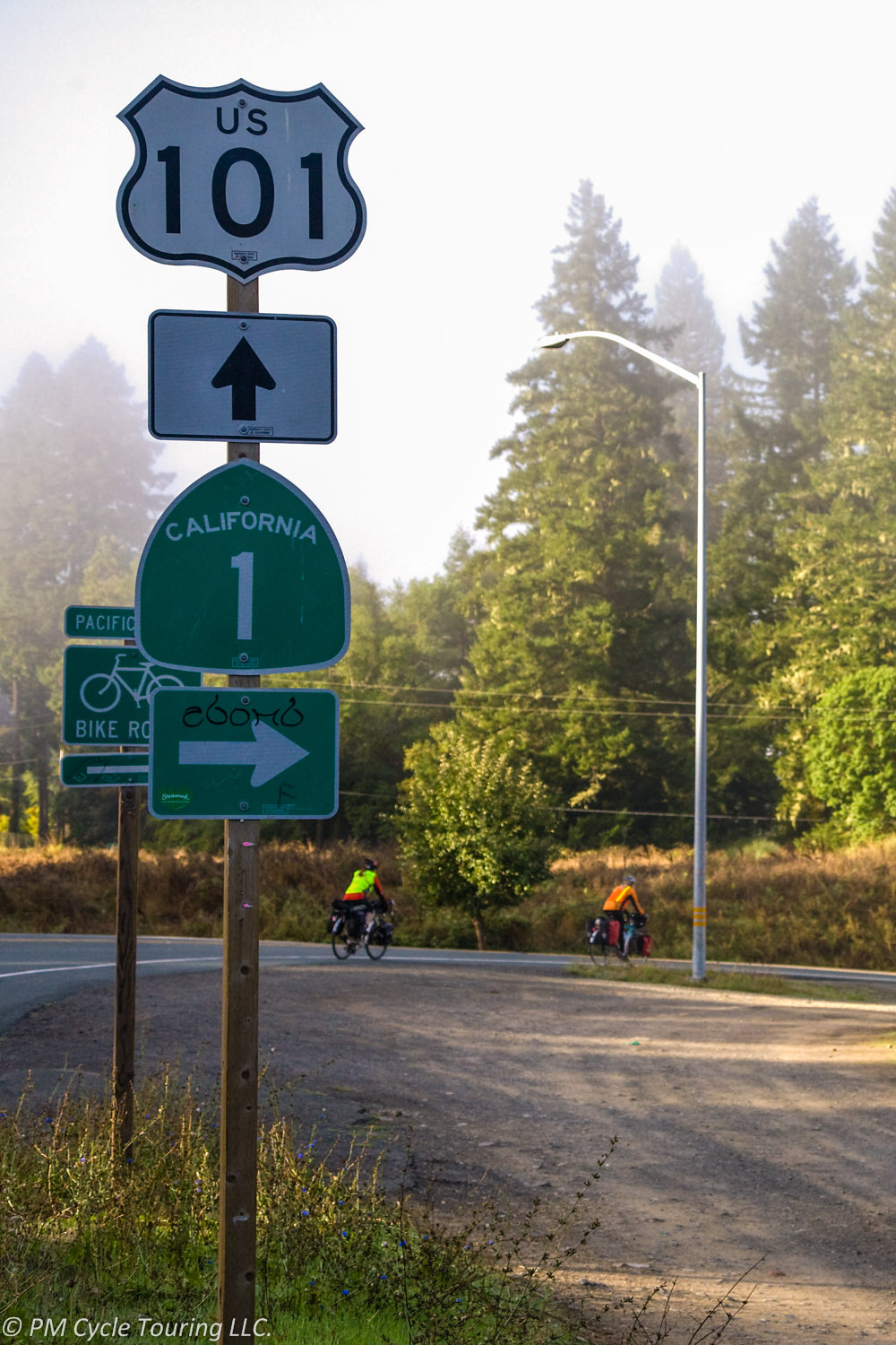
First off, take the Pacific Surfliner train to Goleta. Amtrak is a great option for bicycle tourists. It’s easy to purchase a ticket and reserve a spot for your bicycle (advanced reservations for bicycles are required). When the train gets to the station look for the conductor waving you towards him, you will either wheel your bike directly on to the train or lift the bicycle up to the conductor in a cargo car near the rear of the train. Panniers can stay on the bike if it is not too heavy to lift.

Upon arrival at Goleta use ACA Section 4 Maps 55 and 54; make your way north to Refugio State Beach. You might be tempted to stop at El Capitan State Beach, but trust me, the hiker/biker sites at Refugio are worth the extra few miles; you will be staying as close to the beach as you can get.

For Day 2, retrace your route from Day 1, and continue on through Santa Barbara to Carpinteria State Beach. This makes for a very short, approximately 35 mile day 2. Enjoy the ride, especially on the bike path through UC Santa Barbara. As you ride through campus, you will notice all the bike racks for the students, and if between classes the hundreds of people biking around. It truly is amazing.

Day 3, leave Carpinteria State Beach, and head south through Ventura and Oxnard, around Mugu Point and follow the ocean to Malibu. Leo Carrillo State Beach has a very nice, isolated hiker/biker site behind the dumping station, hidden in the trees. You can walk to the beach or just enjoy the sunlight filtering through the trees.

For your final day, make your way into Santa Monica. The ride through the transition from Malibu into Santa Monica is the most harrowing part of the ride. Keep your eyes open for doors opening on the right, and cars wishing to pass on the left. It’s just a few miles, and then you have the dedicated bike path to look forward to. Although you have to share the path with runners, walkers, roller bladers and other cyclists, it is still a pleasant ride past the pier.

From Santa Monica, there’s a few options. Ride into LA, find a metro station, and head back to Union Station. From there you can return to your starting point via MetroLink or Amtrak. If you ride the Balloona Creek bike path upstream (away from the ocean), you can pick up the Expo Line at the end of the bike path.

And there you have it. A nice, four day bicycle tour, through some of the best that Southern California has to offer. Can anyone else suggest a short tour? Leave your ideas in the comments!

ACA Pacific Coast Section 4 Map 48

Bicycling down the Pacific coast is one of the most amazing experiences I’ve had so far. Each section of the coastline is unique, with different geologic features. Sometimes the road is a hundred yards above the ocean. Other times you’re riding with the waves crashing right beside you. The section between Monterey and Moro Bay is particularly scenic as you pass through Big Sur, which is home to the southernmost coastal redwood forest. If the traffic quiets down enough, you’ll hear the cormorants and seagulls, as well as sea lions and elephant seals. You may catch a glimpse of the California condor, soaring on updrafts above you.
South of Big Sur, just before Limekiln State Park, a new structure will greet you. In 2011, Matt and I were riding through this section and got a particular thrill. There was road construction in progress, which made the traffic very nice on this stretch of road. First we rode through this construction zone trying to imagine what it would look like when it was all said and done. There were giant columns being erected and a ton of heavy machinery.

Pacific Coast Highway 1 near Lime Kiln, California. Major road construction was in progress and we trailed a line of cars through the site.
Pacific Coast Highway 1 near Lime Kiln, California.

Next we ended up with the road to ourselves for a little while as the cars were held up. Directly overhead, on the side of the mountain, we could see workers. Then, the sound of a helicopter. We stopped and watched, fascinated, as the helicopter landed on the road, picked up some men and supplies, and took off, heading to the top of the mountain. It was a thrill to watch the process. We weren’t sure what the end result was going to be, as they had just started, but we were sure it would be incredible. And we had front row seats and the ability to pause and enjoy the show.

Fast forward to 2014 a few weeks ago, we were driving the same route we had biked before. What had taken us almost a week before now took us only a few hours. As we approached the place (we refer to it as the helicopter spot), I started to get excited. Surely the construction was done. What could it possibly look like?

Well, as you can see, it looks amazing. At a point on the highway that was prone to rock slides, now there is a tunnel/castle/feat of engineering.

Pacific Coast Highway 1 near Lime Kiln, California. 3 years ago we rode through this as it was being constructed, not able to visualize how amazing the structure would become.
Pacific Coast Highway 1 near Lime Kiln, California.

As you ride down the coast, take a moment to marvel at what human ingenuity can accomplish. And be sure to snap a picture!

Choosing a Bicycle Route

Why can it be so difficult to decide where to ride on a tour? We’ve been on two long bicycle tours (and countless small ones) and we are always pleased with the experience. However, in the early planning stages we tend to waffle on the details. Things like: where are we going? When are we going? How long do we plan to go? Answers to these questions continuously change as the planning continues.

Our latest tour took us across the southern tier of the United States through autumn. However, the trip was originally planned as a northern crossing in the spring. Why the drastic change?

As with many things in life, timing is everything. To complete a successful northern tier tour, without suffering through intense heat or deep snow, the timing needs to be perfect. If you travel west to east, you want to leave late enough to avoid snow in the mountain passes, but early enough to avoid hot, humid weather once you reach the plains. For us, this proved too uncertain. The southern route has similar issues, but we found that it worked for our schedule. We could leave late enough in the season to avoid horrendously high temperatures, but early enough to avoid snow in the mountains.

The main consideration when we plan a tour is flexibility. We give ourselves plenty of time to account for illness and injury, since these are two things generally out of our control. We plan for rest days. We’ve found that a rest day every 5 or 6 days is usually sufficient, and we account for this in our mileage estimates. We also try to plan for several different “early outs”. If something goes wrong on the tour, we think about where we could end it prematurely. Is there an airport along the way we could shoot for? What about the railroad? A large town with a rental car? Several friends and family members have offered to save us if we need it, as well. We’ve never had to call in that favor (yet), but it’s sure nice to know it’s there.

What’s that old saying? “An ounce of prevention is worth a pound of cure.” I think it’s applicable to planning a bicycle tour. You can’t, and shouldn’t try to plan for everything on a bicycle tour. But thinking about the route before you leave can help you have an enjoyable, safe ride. We have found most of our least favorite days touring are when you lock ourselves in to being at a certain place at a certain time and have to push too hard to get there. In the end, it’s about the journey, not the destination. No matter where your tour takes you, you will learn things about yourself that you never knew before. And that’s what really matters!


Adventure Cycling Association has many preplanned routes, and their maps are top notch. Check them out!